MILESTONES
INAUGURAL COMPETITION PRODUCES PRACTICAL MOBILE APPS
30 Oct 2014
Haze levels hit a record high last year, and Singaporeans rallied to help one another pull through the crisis. Information management and coordination were key in tackling the haze situation, and this was what inspired a team of Full-time National Servicemen (NSFs) to create an award-winning mobile app for commanders to better communicate with parents.
Team leader Corporal First Class (CFC) John Tan remembers how, when he was a recruit, all his Basic Military Training instructors were kept occupied by endless phone calls from concerned parents.
"I thought, why not create an app since everyone carries a smartphone nowadays," said CFC Tan, an Ops clerk in 10th Battalion, Command, Control, Communications, Computers, Intelligence (10C4I).
"By pushing newsfeed updates like cancellation of training (because of the haze) to parents, our commanders can be freed up to attend to pressing matters."
In August this year, CFC Tan teamed up with five NSFs from Headquarters Commando for the inaugural Mobile App Challenge, and their eEngagement app emerged the winner.
It allows commanders to update parents on their sons' training activities, cancellation of training, changes in book-out timing as well as other information. Parents can also submit questions which commanders can reply directly through the app.
Jointly organised by the Ministry of Defence's (MINDEF's) Information Systems Division, and Defence Science and Technology Agency (DSTA), the competition was open to all MINDEF and Singapore Armed Forces (SAF) personnel.
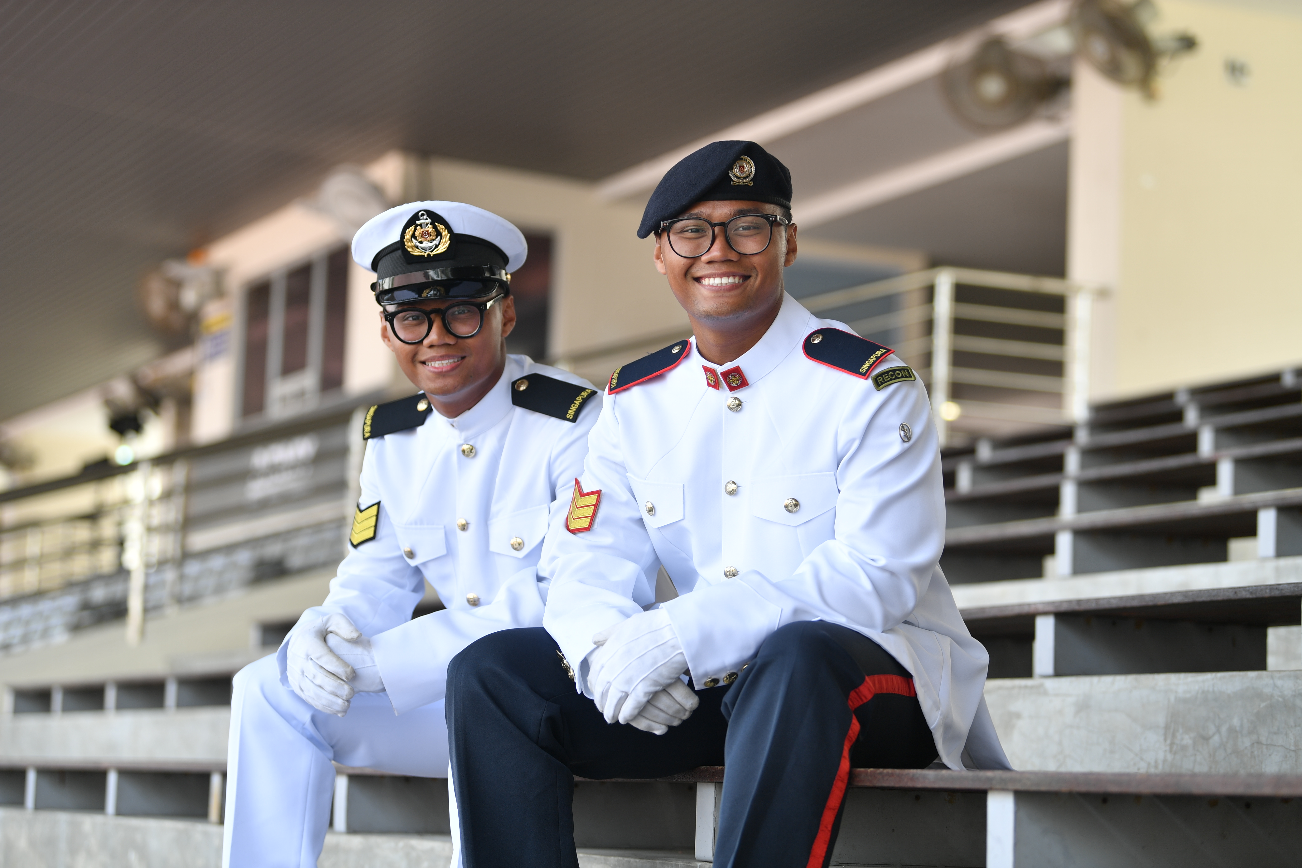
CFC Tan and and co-team leader Lance Corporal (LCP) Tan Wei Yang received the award from Major-General (MG) (NS) Ng Chee Khern, Permanent Secretary (Defence Development), on 29 Oct at the 12th MINDEF Chief Information Officer (CIO) Seminar held at The Chevrons.
In his address, MG (NS) Ng said the competition provided a platform "for crowd sourcing of mobile app ideas and developing working prototypes quickly".
A total of 125 entries were received. The top 10 teams were then each paired with a commercial developer to create a prototype of the app within a month.
Navigation aid
Among the apps are those which aim to improve operations within the SAF. For instance, a team from the 1st SAF Transport Battalion (1 SAF TPT BN) developed the Steering Force app to help transport operators familiarise themselves with their driving routes.
Before setting off, these drivers can use the app to view approved routes to and from all SAF camps for each type of vehicle. They have to stick to these routes because heavy SAF vehicles such as the 5-ton trucks can only travel on certain roads.
"The app is useful because it is not possible for the transport operators, especially the newer guys who just completed their training, to be familiar with all the routes," explained team leader Captain Derek Liew, an Officer Commanding in 1 SAF TPT BN.
Transport operators can also take snapshots of the odometer reading using their smartphones to submit their mileage record electronically. This will help to improve accuracy and cut down paper work.
Faster dissemination
Another notable app is Snap2Send, which is designed to speed up planning for Humanitarian Assistance and Disaster Relief (HADR) operations.
Defence Executive Officer (DXO) Mr J. Srieedar from the SAF Mapping Unit noted that HADR mission planners often had to wait for up to two days for the advance party, also known as the needs assessment survey team, on the ground to fly back to Singapore with critical photos and information such as potential heli-landing zones, routes to reach the disaster zones and suitable sites for medical posts. However, speed is of the essence in such relief operations. With that in mind, he developed a camera app for users to send back photos - tagged with GPS coordinates - in real time. They can also describe the situation as shown in the photo and send the voice recording to the mission planners.
As Wifi and 4G or 3G networks are often down in a disaster zone, the transmission is done via a portable satellite device that is paired with a smartphone or tablet.
"The information and photos are sent via satellite and the mission planners can view them in real time," said the 31 year-old mapping specialist.
All top 10 apps will be considered for further development, and use in MINDEF and the SAF.

ALSO READ IN MILESTONES


Answering the call to defend Singapore
21 Jan 2026
The Weapon Presentation Ceremony represents a powerful moment when recruits are entrusted with their rifle and begin carrying the weight of the nation’s defence.

Navy launches 1st Multi-Role Combat Vessel
21 Oct 2025
The Multi-Role Combat Vessel will function as a mothership for the command and conduct of unmanned naval operations.
-dsc_2181.jpg?sfvrsn=cf9c6464_2 "1) DSC_2181")
What you need to know about the new CMPB
14 Oct 2025
The new Central Manpower Base (CMPB) at Bukit Gombak officially opened its doors on 14 Oct, welcoming pre-enlistees, servicemen and the public alike to a state-of-the-art, one-stop hub for all things National Service (NS).